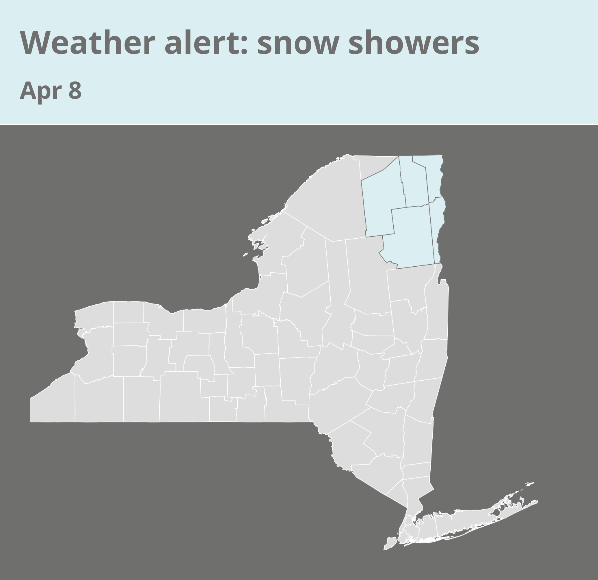
A report from the National Weather Service was issued on Tuesday at 1:48 p.m. for snow showers until 2:45 p.m. The alert is for Eastern Clinton, Southern Franklin, Western Clinton, Western Essex and Eastern Essex.
“At 1:44 p.m., an area of snow showers was reported over Plattsburgh, moving east at 25 mph,” says the NWS. “Low visibility may pose a hazard to motorists.”
Locations impacted by the alert include Franklin, Wagner Point, Sloop Island, Shelburne Falls, Sheldon Junction, Jay, Champlain, Hazen Point, Ransoms Bay, Sunset Island, Hen Island, Kellogg Island, Allens Bay In Clinton County, Juniper Island, Cloak Island, Marble Island, Minnetoska Point, Westford, Treadwell Bay and Colchester. This includes the following highways: Interstate 87 between mile markers 124 and 175. Interstate 89 between mile markers 79 and 129.
According to the NWS, “Conditions can deteriorate rapidly in winter weather situations. Be prepared for slick conditions. Slow down and allow extra time when traveling.”
Hazards include winds 25 mph or greater, and visibility less than a mile.
Source: The National Weather Service