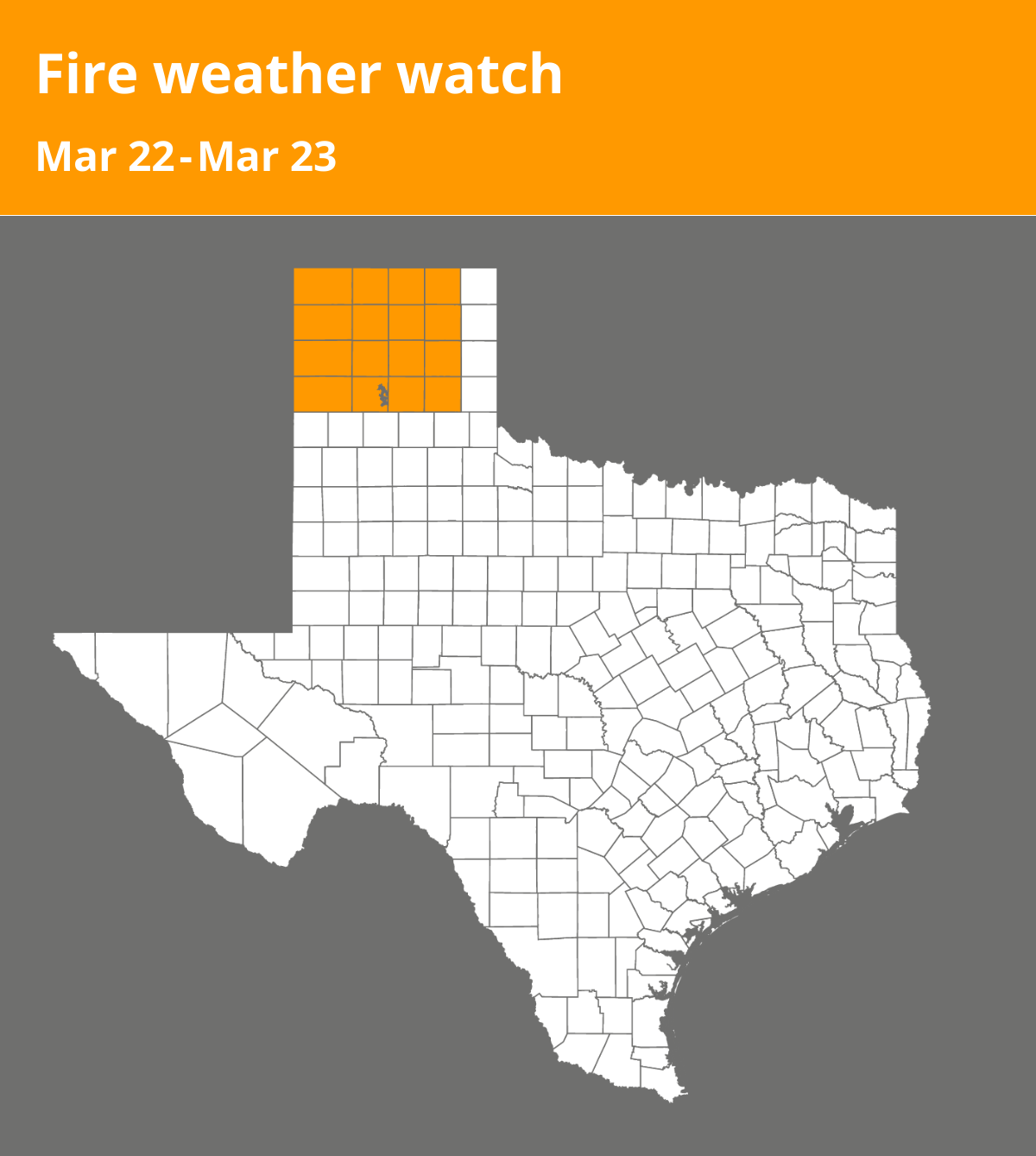
On Friday at 2:12 p.m. an updated fire weather watch was issued by the National Weather Service valid for Saturday between noon and 9 p.m. The watch is for Palo Duro Canyon as well as Dallam, Sherman, Hansford, Ochiltree, Hartley, Moore, Hutchinson, Roberts, Oldham, Potter, Carson, Gray, Deaf Smith, Randall, Armstrong and Donley counties.
20-foot winds: Southwest 15 to 25 mph with gusts up to 35 mph.
Relative humidity: As low as 10 percent.
Red Flag Threat Index: 2 to 4 mainly in the southwest with RFTI’s of 1 to 3 elsewhere
A fire weather watch means that critical fire weather conditions are possible. Listen for later forecasts and possible red flag warnings.
What are 20-foot winds?
20-foot winds are the sustained winds averaged over a 10-minute period at a height of 20 feet above the average height of nearby vegetation.
Red Flag Threat Index
RFTI is a numerical value that indicates the severity of the Red Flag fire conditions.
0 Nil
1-2 Elevated
3-4 Critical Low
5-6 Critical High
7-8 Extremely Critical
9-10 Historically Critical
Source: The National Weather Service