A 6.3 magnitude quake was registered near Lata Thursday morning, according to the U.S. Geological Survey.
It was reported that a tremor slammed the region at 16:22 UTC (03:22 local time). The epicenter was located approximately 108 km south-southeast of Lata, at a depth of 31 km. Seismologists first reported it as a 6.2 event, but later upgraded it to 6.3.
Did you feel it?
Those who experienced the earthquake are encouraged to report it through the USGS Felt Report form.
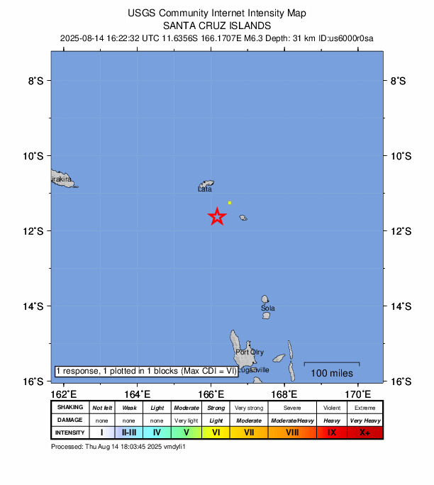
Impact and estimated losses
Green alert for shaking-related fatalities and economic losses. There is a low likelihood of casualties and damage. Recent earthquakes in this area have caused secondary hazards such as landslides that might have contributed to losses.
Structure information summary
Overall, the population in this region resides in structures that are highly vulnerable to earthquake shaking, though some resistant structures exist. The predominant vulnerable building types are unknown/miscellaneous types and wood construction.
Historical information
A magnitude 5.8 earthquake 364 km southeast of this event struck UK on November 27, 2002 (UTC), with estimated population exposures of 70,000 at intensity IV and 19,000 at intensity V, with no reported fatalities.
Source: The U.S. Geological Survey