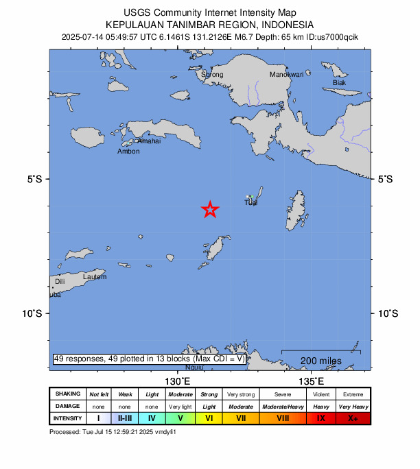
According to the U.S. Geological Survey, a 6.7 magnitude quake occurred close to Tual Monday afternoon.
It was reported that a tremor struck the region at 05:49 UTC (14:49 local time). The epicenter was situated roughly 179 km west-southwest of Tual, at a depth of 66 km.
In response to the earthquake, the National Tsunami Center issued a Tsunami statement. For the most recent details, please check tsunami.gov.
Did you feel it?
Those who noticed the quake are encouraged to report it via the USGS Felt Report form. So far, the agency has collected 49 online responses from individuals saying that they felt the tremor. Weak shaking was registered, and people in several cities—including Howard Springs, Coonawarra and Darwin—reported experiencing the earthquake, according to the USGS DYFI report.
Impact and estimated losses
Green alert for shaking-related fatalities and economic losses. There is a low likelihood of casualties and damage.
Structure information summary
Overall, the population in this region resides in structures that are vulnerable to earthquake shaking, though resistant structures exist. The predominant vulnerable building types are unreinforced brick with concrete floor and precast concrete frame with wall construction.
Historical information
A magnitude 6.6 earthquake 230 km northwest of this event struck UK on January 10, 1989 (UTC), with estimated population exposures of 5,000 at intensity VIII and 10,000 at intensity IX or greater, with no reported fatalities.
Source: The U.S. Geological Survey