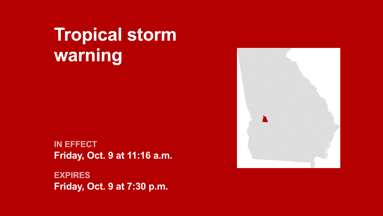
The National Weather Service released a tropical storm warning at 11:16 a.m. on Friday in effect until 7:30 p.m. for Schley County.
The following information is provided by the NWS:
A Tropical Storm Warning means tropical storm-force winds are expected somewhere within this area within the next 36 hours
* LOCATIONS AFFECTED
– Ellaville
* WIND
– LATEST LOCAL FORECAST: Tropical storm force winds remain possible
– Peak Wind Forecast: 10-20 mph with gusts to 45 mph
– THREAT TO LIFE AND PROPERTY THAT INCLUDES TYPICAL FORECAST UNCERTAINTY IN TRACK, SIZE AND INTENSITY: Potential for wind 39 to 57 mph
– The wind threat has remained nearly steady from the previous assessment.
– PLAN: Plan for hazardous wind of equivalent tropical storm force.
– PREPARE: Efforts to protect property should now be underway. Prepare for limited wind damage.
– ACT: Act now to complete preparations before the wind becomes hazardous.
– POTENTIAL IMPACTS: Limited
– Damage to porches, awnings, carports, sheds, and unanchored mobile homes. Unsecured lightweight objects blown about.
– Many large tree limbs broken off. A few trees snapped or uprooted, but with greater numbers in places where trees are shallow rooted. Some fences and roadway signs blown over.
– A few roads impassable from debris, particularly within urban or heavily wooded places. Hazardous driving conditions on bridges and other elevated roadways.
– Scattered power and communications outages.
* FLOODING RAIN
– LATEST LOCAL FORECAST: Flood Watch is in effect
– Peak Rainfall Amounts: Additional 3-6 inches, with locally higher amounts
– THREAT TO LIFE AND PROPERTY THAT INCLUDES TYPICAL FORECAST UNCERTAINTY IN TRACK, SIZE AND INTENSITY: Potential for moderate flooding rain
– The flooding rain threat has remained nearly steady from the previous assessment.
– PLAN: Emergency plans should include the potential for moderate flooding from heavy rain. Evacuations and rescues are possible.
– PREPARE: Consider protective actions if you are in an area vulnerable to flooding.
– ACT: Heed any flood watches and warnings. Failure to take action may result in serious injury or loss of life.
– POTENTIAL IMPACTS: Significant
– Moderate rainfall flooding may prompt several evacuations and rescues.
– Rivers and tributaries may quickly become swollen with swifter currents and overspill their banks in a few places, especially in usually vulnerable spots. Small streams, creeks, canals, arroyos, and ditches overflow.
– Flood waters can enter some structures or weaken foundations. Several places may experience expanded areas of rapid inundation at underpasses, low-lying spots, and poor drainage areas. Some streets and parking lots take on moving water as storm drains and retention ponds overflow. Driving conditions become hazardous. Some road and bridge closures.
* TORNADO
– LATEST LOCAL FORECAST:
– Situation is favorable for tornadoes
– THREAT TO LIFE AND PROPERTY THAT INCLUDES TYPICAL FORECAST UNCERTAINTY IN TRACK, SIZE AND INTENSITY: Potential for several tornadoes
– The tornado threat has remained nearly steady from the previous assessment.
– PLAN: Emergency plans should include the potential for several tornadoes with a few possibly intense having larger damage paths.
– PREPARE: Those living in manufactured homes or on boats should prepare to relocate to safe shelter before hazardous weather arrives.
– ACT: Listen for tornado watches and warnings. If a tornado warning is issued, be ready to shelter quickly.
– POTENTIAL IMPACTS: Significant
– The occurrence of scattered tornadoes can hinder the execution of emergency plans during tropical events.
– Several places may experience tornado damage with a few spots of considerable damage, power loss, and communications failures.
– Locations could realize roofs torn off frame houses, mobile homes demolished, boxcars overturned, large trees snapped or uprooted, vehicles tumbled, and small boats tossed about. Dangerous projectiles can add to the toll.
Deciphering advisories, watches, and warnings: Understanding weather alerts
Flash flood warning: Take action.
A flash flood warning is issued when a flash flood is either imminent or already occurring. In flood-prone areas, it’s crucial to move immediately to higher ground. A flash flood is a sudden and violent inundation that can develop within minutes to hours, and it can even happen in areas not currently experiencing rainfall.
Flood warning: Take action.
A flood warning is issued when flooding is imminent or occurring.
Flood advisory: Be aware.
A flood advisory is issued when flooding is not expected to be bad enough to issue a warning. However, it may cause significant inconvenience, and if caution is not exercised, it could lead to situations that may threaten life and/or property.
Flood watch: Be prepared.
A flood watch is issued when conditions are favorable for flooding. It doesn’t guarantee that flooding will occur, but it signifies that the possibility exists.
When floods strike: Guidelines from the NWS for your protection
In flood-prone regions or while camping in low-lying areas, understanding and following the NWS flood safety guidelines can be a lifesaver:
Move to higher ground:
If you reside in a flood-prone region or are camping in low-lying terrain, the first step to safety is relocating to higher ground.
Follow evacuation orders:
When local authorities issue an evacuation order, promptly comply. Before leaving, secure your home by locking it.
Disconnect utilities and appliances:
If time permits, disconnect your utilities and appliances. This precaution minimizes electrical hazards during flooding.
Steer clear of flooded basements and submerged areas:
Steer clear of basements or rooms where water has submerged electrical outlets or cords. This helps prevent electrical accidents.
Evacuate promptly for safety:
If you notice sparks or hear buzzing, crackling, snapping, or popping noises, evacuate immediately. Avoid any water that may be charged with electricity.
Refrain from walking in floodwaters:
Never attempt to walk through floodwaters. Even just 6 inches of swiftly moving water can forcefully knock you off your feet.
Seek high ground if trapped:
Should you become trapped by moving water, reach the highest point possible and dial 911 to contact emergency services.
During heavy rainfall, there is a risk of flooding, especially in low-lying and flood-prone areas. Remember to never drive through water on the road, even if it seems shallow. According to the NWS, as little as 12 inches of rapidly flowing water can carry away most cars. Stay safe by being prepared and informed.
Rainy roadways ahead: Essential safety tips for heavy rain
When heavy rain sets in, the risk of flooding and hazardous driving conditions rises. Whether it’s prolonged rainfall or rapid runoff, being prepared is essential. Here are some valuable safety tips from the NWS to ensure you stay safe in heavy rain:
Beware of swollen waterways:
Avoid parking or walking in close proximity to culverts or drainage ditches, as the swiftly moving water during heavy rain can potentially carry you away.
Maintain safe driving distances:
Adhere to the two-second rule for maintaining a safe following distance behind the vehicle in front of you. In heavy rain, allow an additional two seconds of distance to compensate for reduced traction and braking effectiveness.
Slow down and stay cautious:
On wet roads, slowing down is paramount. Gradually ease off the accelerator and avoid abrupt braking to prevent skidding.
Choose your lane wisely:
Stay toward the middle lanes – water tends to pool in the outside lanes.
Prioritize visibility:
Turn on your headlights and be careful of other vehicles to the rear and in blind spot areas as they are especially difficult to see through rain-spattered windows.
Watch out for slippery roads:
The initial half-hour of rain is when roads are slickest due to a mixture of rain, grime, and oil. Exercise heightened caution during this period.
Keep a safe distance from large vehicles:
Don’t follow large trucks or buses too closely. The spray created by their large tires reduces your vision. Take care when passing them as well; if you must pass, do so with caution.
Mind your windshield wipers:
• Overloaded wiper blades can hinder visibility. If rain severely limits your sight, pull over and wait for conditions to improve. Seek refuge at rest areas or protected spots.
• If the roadside is your only option, pull off as far as possible, preferably past the end of a guard rail, and wait until the storm passes. Keep your headlights on and turn on emergency flashers to alert other drivers of your position.
In the face of heavy rain, these precautions can make a significant difference in ensuring your safety on the road. Remember to stay informed about weather conditions and heed guidance from local authorities for a secure journey.
Source: The National Weather Service