Warning: Yellow
To expect: Thunderstorms
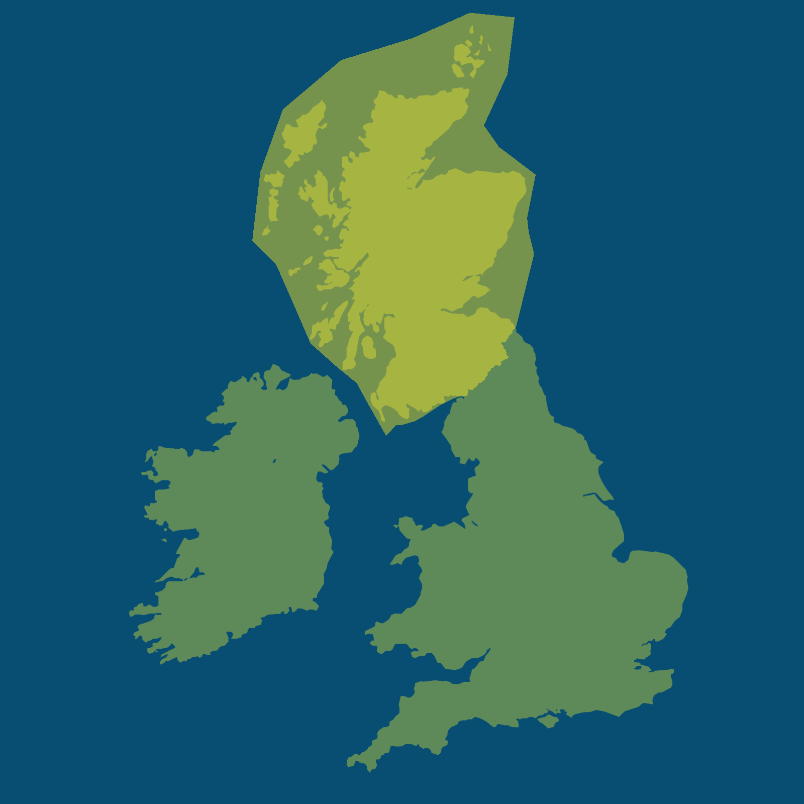
Affected area: Multiple, listed below
Start time estimate: Friday midnight
End time estimate: Friday 11pm
The Met Office has announced a Yellow thunderstorm warning for several regions across the UK for Friday.
The warning is covering parts of Central, Tayside and Fife, Grampian, Highlands and Eilean Siar, Orkney and Shetland, SW Scotland, Lothian Borders, Strathclyde. All local areas affected are listed below.
A Yellow weather alert is in place on Friday, starting from around midnight and continuing until 11pm. Forecasters predict frequent lightning strikes and heavy rain in the impacted regions.
The Yellow warning for thunderstorms was issued at 10:08am on Thursday, June 25.
A Met Office forecast said: “Spells of heavy rain and thunderstorms initially over northwest Scotland are likely to become more widespread during Friday morning. Further thunderstorms and spells of heavy rain are possible in the afternoon before becoming confined to more northern areas of Scotland later in the day. Rainfall amounts will be highly variable but narrow corridors of 20-30 mm falling in 1 hour and potentially 30-50 mm in 3 hours is possible. Frequent lightning, large hail (2-4 cm diameter) and locally gusty winds with stronger storms.”
What to expect
There is a small chance that homes and businesses could be flooded quickly, with damage to some buildings from floodwater, lightning strikes, hail or strong winds; Where flooding or lightning strikes occur, there is a chance of delays and some cancellations to train and bus services; Spray and sudden flooding could lead to difficult driving conditions and some road closures; There is a small chance that some communities become cut off by flooded roads; There is a slight chance that power cuts could occur and other services to some homes and businesses could be lost.
What should you do during intense thunderstorms?
Consider if your location is at risk of flash flooding. If so, consider preparing a flood plan and an emergency flood kit. Prepare to protect your property and people from injury. Before gusty winds arrive, check to ensure moveable objects or temporary structures are well secured. Items include; bins, garden furniture, trampolines, tents, gazebos, sheds, and fences. Give yourself the best chance of avoiding delays by checking road conditions if driving, or bus and train timetables, amending your travel plans if necessary. People cope better with power cuts when they have prepared for them in advance. It’s easy to do; consider gathering torches and batteries, a mobile phone power pack and other essential items. If you find yourself outside and hear thunder, protect yourself by finding a safe enclosed shelter (such as a car). Do not shelter under or near trees, or other structures which may be struck by lightning. If you are on an elevated area move to lower ground. Be prepared for weather warnings to change quickly: when a weather warning is issued, the Met Office recommends staying up to date with the weather forecast in your area. For further details see Met Office Warnings & Advice.
Full list of local areas affected
Central, Tayside and Fife
Angus, Clackmannanshire, Dundee, Falkirk, Fife, Perth and Kinross, Stirling
Grampian
Aberdeen, Aberdeenshire, Moray
Highlands and Eilean Siar
Eilean Siar, Highland
Orkney and Shetland
Orkney Islands
SW Scotland, Lothian Borders
Dumfries and Galloway, East Lothian, Edinburgh, Midlothian Council, Scottish Borders, West Lothian
Strathclyde
Argyll and Bute, East Ayrshire, East Dunbartonshire, East Renfrewshire, Glasgow, Inverclyde, North Ayrshire, North Lanarkshire, Renfrewshire, South Ayrshire, South Lanarkshire, West Dunbartonshire
What is a yellow weather warning?
The Met Office has three categories of weather warning, depending on the likely impact of severe weather and also how likely it is to strike in a particular area.
A yellow warning is issued when weather conditions are expected to disrupt travel and traffic and may impact on daily routines but are not likely to pose a risk to life or property.
An amber warning is more severe and advises people to think about changing their plans to minimise the risk.
A red warning means weather conditions are expected to be dangerous with widespread damage to property and a risk to life, with the public usually advised to avoid travelling.
The Yellow weather alert for thunderstorms will remain in place until 11pm on Friday.