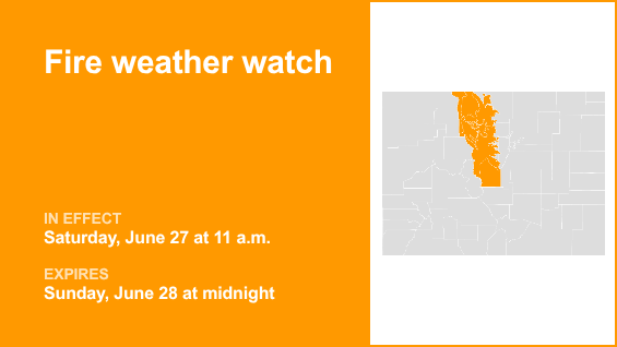
The National Weather Service issued an updated fire weather watch at 1:09 p.m. on Thursday valid from Saturday 11 a.m. until Sunday midnight for Central Colorado.
Residents can expect winds to be southwest 20 to 30 mph with gusts up to 50 mph and relative humidity 11 to 15%.
“A warm and dry airmass will coincide with considerably stronger west and southwest winds this weekend, potentially continuing into early next week. Sustained winds are expected to exceed 20 to 30 mph across much of the high country beginning Saturday, with gusts of 40 to 50 mph, strongest for exposed areas and higher elevations. These conditions will drive very high fire danger across the warned area, that may extend through the evening hours of Saturday driven by the enhanced winds. Any new starts or established fires will likely spread rapidly under these conditions,” says the NWS. “Conditions will be favorable for rapid fire spread. Avoid outdoor burning and any activity that may produce a spark and start a wildfire.”
The full list of affected locations includes:
• Jackson County below 9,000 feet
• South and Southeast Grand/West Central and Southwest Boulder/Gilpin/Clear Creek/Summit/North and West Park counties above 9,000 feet
• Grand and Summit counties below 9,000 feet
• Central and Southeast Park County
• West Jackson and West Grand counties above 9,000 feet
• South and East Jackson/Larimer/North and Northeast Grand/Northwest Boulder counties above 9,000 feet
According to the NWS, a fire weather watch means that critical fire weather conditions are possible. Listen for later forecasts and possible red flag warnings.
Source: The National Weather Service