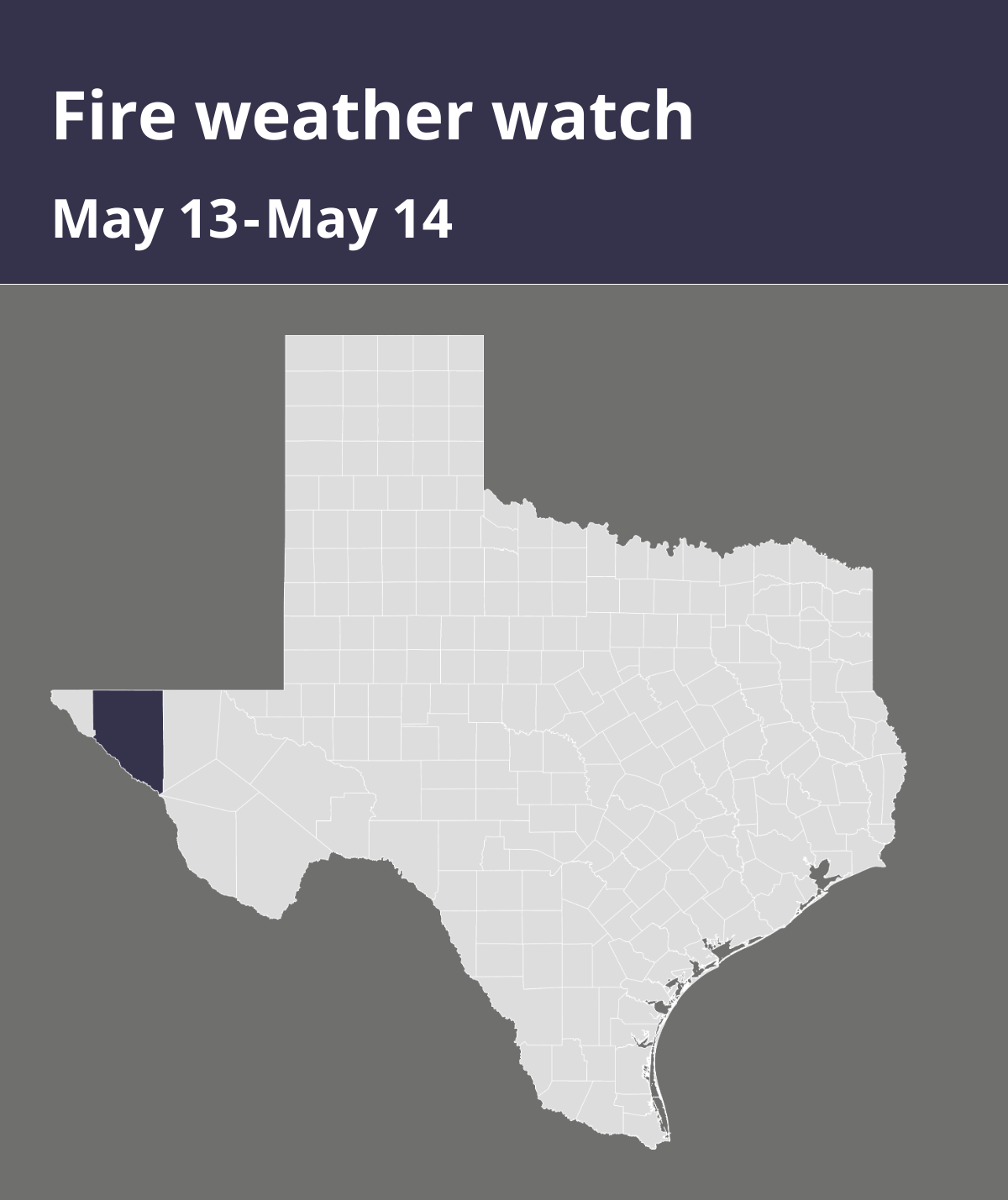
At 5:02 a.m. on Monday, the National Weather Service released an updated fire weather watch valid for Tuesday between noon and 10 p.m. for Hudspeth County.
Winds are forecasted to be west 20 to 30 mph with gusts up to 40 mph and relative humidity as low as 10 percent.
“Approaching low pressure system moving on shore over the Pacific Northwest will induce stronger flow aloft across the Desert Southwest this week. The currently present ridge of high pressure will begin breaking down today, with winds strengthening across the southwest deserts and lowlands amongst very low humidity. Winds will strengthen further Tuesday through Wednesday areawide, with gusts around 50 mph common in the afternoon. Already present dry air will create critical to extreme fire weather conditions for southern New Mexico and far west Texas for both Tuesday and Wednesday,” states the NWS. “Any fires that develop will likely spread rapidly. Outdoor burning is not recommended.”
A fire weather watch means that critical fire weather conditions are possible. Listen for later forecasts and possible red flag warnings.
Source: The National Weather Service