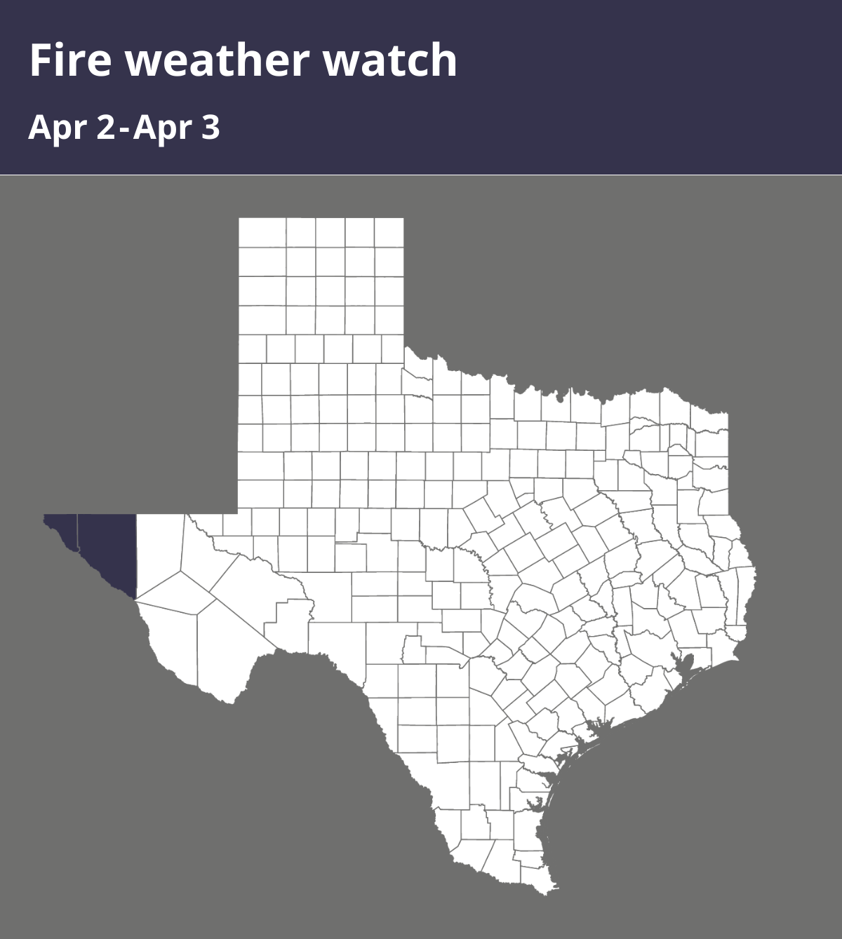
The National Weather Service issued a fire weather watch at 2:28 p.m. on Monday valid for Wednesday between 3 p.m. and 9 p.m. for El Paso and Hudspeth counties.
Expect winds to be for the warning, West 25 to 35 mph with gusts up to 60 mph. For the watch, West 20 to 25 mph with gusts up to 50 and relative humidity 10 to 20 percent.
“Strong jet stream flow aloft crossing the Southern Rockies will induce a deep 980-mb surface low over the Central Plains on Tuesday. Strong west-southwest winds across New Mexico and west Texas are expected during the afternoon and evening hours with sustained 20-ft speeds 25 to 35 mph and gusts as high as 60 mph. Relative humidity continues to be dry, falling below 15% in the desert lowlands and 15 to 25% in the National Forests. Mountain zones are included in the warning given unseasonably dry fuels and ongoing severe drought conditions. Latest ERCs are near the 90th- percentile. Any fires that start have the potential to spread rapidly. Strong winds will continue on Wednesday on the backside of the system but not as strong. Winds will top out around 20 to 25 MPH while minimum relative humidity values drop to the lower to mid teens in the lowlands. Mountains will see higher minimum relative humidity values and were not included within the Fire Weather Watch for Wednesday,” according to the NWS. “Any fires that develop will likely spread rapidly. Outdoor burning is not recommended.”
According to the NWS, a fire weather watch means that critical fire weather conditions are possible. Listen for later forecasts and possible red flag warnings.
Source: The National Weather Service