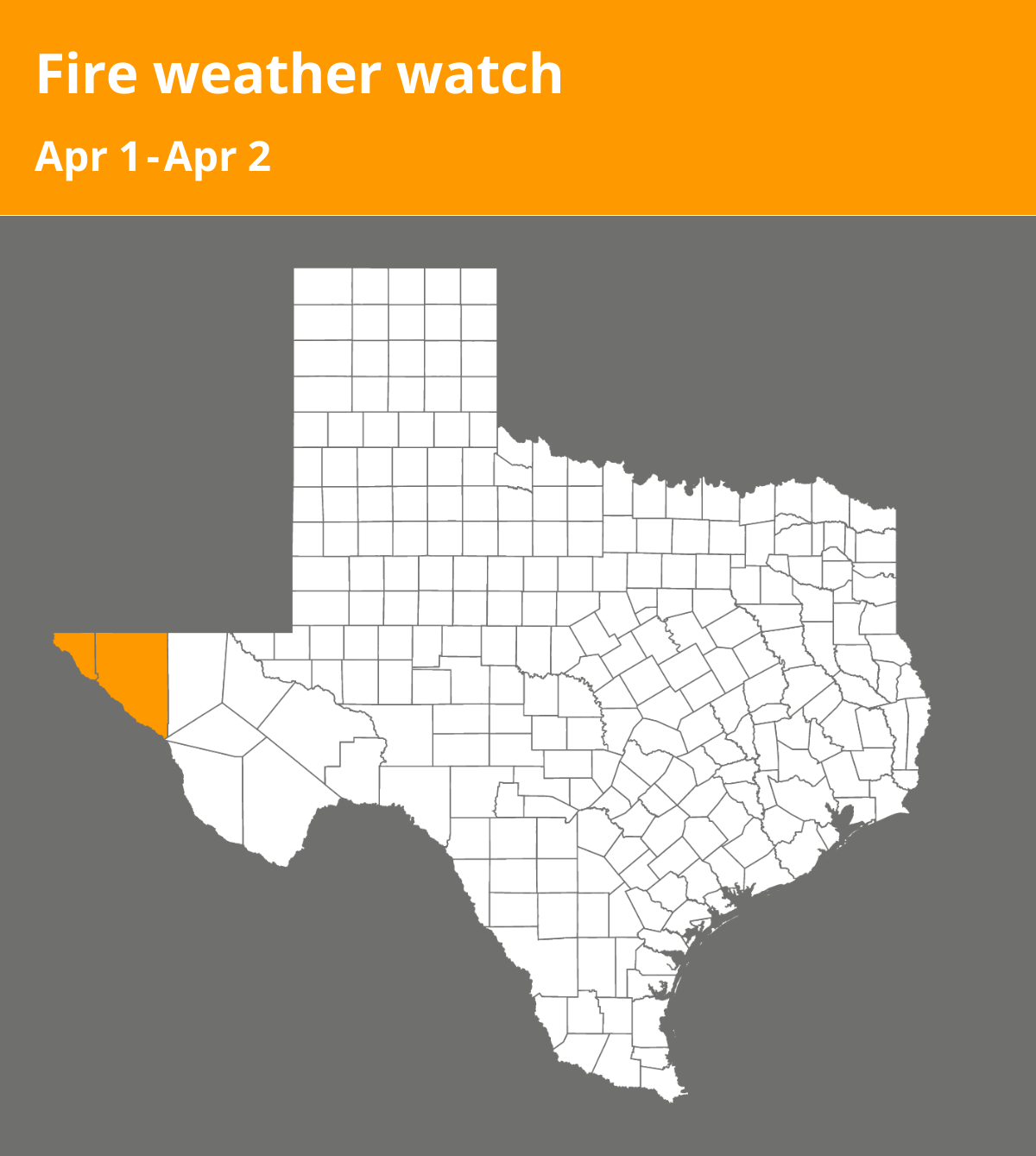
On Sunday at 4:37 a.m. a fire weather watch was issued by the National Weather Service valid for Tuesday between 1 p.m. and 10 p.m. for El Paso and Hudspeth counties.
Winds are expected to be for Sunday, west winds around 20 mph with gusts up to 40 mph. For Tuesday, west winds 25 to 35 mph with gusts up to 50 mph and relative humidity for Sunday, 7 to 13 percent. For Tuesday, 10 to 15 percent below 7500 and 15 to 25 percent above 7500 feet.
“Breezy west flow continues today with a lee surface low over eastern New Mexico. Winds will be slightly weaker than Saturday, but still likely to reach critical thresholds and promote rapid fire spread. The winds, in combination with very low humidity and critically dry fuels, will lead to critical fire weather conditions for several hours Sunday afternoon. Another system will approach the area on Tuesday, which will bring strong winds with 20-foot gusts as high as 50 MPH. Lowland RH values will drop well into the teens with values of 15 to 25 percent in the mountains. Nevertheless, given the dry fuels, the fire danger will remain very high in the Lincoln and Capitan National Forests and is included within the Fire Weather Watch,” states the NWS. “Any fires that develop will likely spread rapidly. Outdoor burning is not recommended.”
A fire weather watch means that critical fire weather conditions are possible. Listen for later forecasts and possible red flag warnings.
Source: The National Weather Service