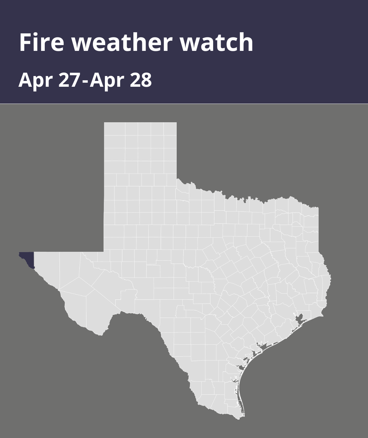
On Friday at 8:49 a.m. the National Weather Service released a fire weather watch valid for Sunday between noon and 10 p.m. for El Paso County.
Expect winds to be southwest 25 to 35 mph with gusts up to 60 mph and relative humidity as low as 4 to 8 percent in the desert lowlands, and 8 to 12 percent in the higher elevations above 7500 feet.
“An upper-level low will move through the Great Basin on Sunday, which will steer the jet stream across New Mexico during the afternoon. Meanwhile, a surface low will develop over eastern Colorado increasing winds across the area. These strong winds will combine with very low relative humidity at all elevations and very dry fuels to create critical to extreme fire weather conditions Sunday afternoon,” states the NWS. “Any fires that develop will likely spread rapidly. Outdoor burning is not recommended.”
A fire weather watch means that critical fire weather conditions are possible. Listen for later forecasts and possible red flag warnings.
Source: The National Weather Service