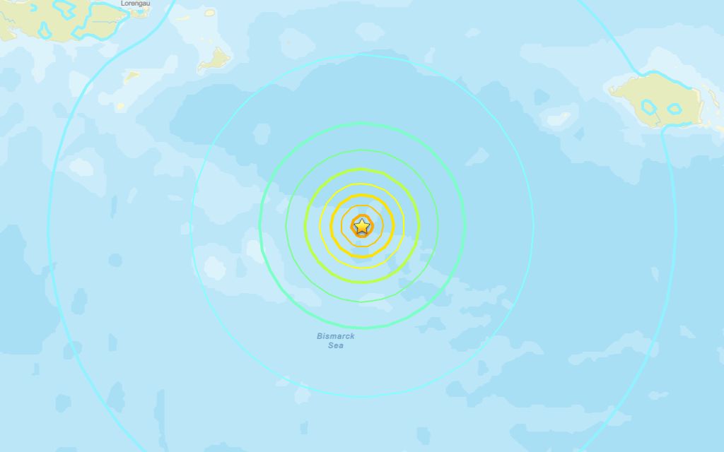
A 6.4 magnitude quake rocked close to Lorengau on Monday afternoon, according to the U.S. Geological Survey.
The tremor rocked the area at 08:53 UTC (18:53 local time). It occurred at a depth of 10 km with the epicenter about 196 km southeast of Lorengau. Seismologists first reported it as a 6.5 event, but later downgraded it to 6.4.
Did you feel it?
If you experienced the earthquake, you can submit a report via the USGS Felt Report form.
Impact and estimated losses
The USGS categorized this as a Green Alert, which means there is a low likelihood of casualties and damage. Recent earthquakes in this area have caused secondary hazards such as landslides and liquefaction that might have contributed to losses.
Structure information summary
Overall, the population in this region resides in structures that are a mix of vulnerable and earthquake resistant construction. The predominant vulnerable building types are informal (metal, timber, GI etc.) and unreinforced brick masonry construction.
Area struck by 6.3 quake in 1993
Strong earthquakes have struck the area before. On Oct. 16, 1993, a magnitude 6.3 tremor struck northeast of Kainantu in Rai Coast District, at a depth of 16.8 miles.
Source: The U.S. Geological Survey