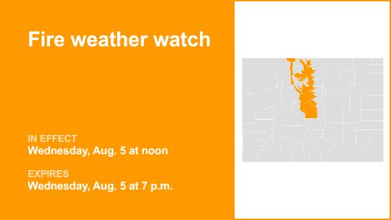
A fire weather watch was issued by the National Weather Service on Tuesday at 1:39 a.m. valid for Wednesday between noon and 7 p.m. for South and Southeast Grand/West Central and Southwest Boulder/Gilpin/Clear Creek/Summit/North and West Park counties above 9,000 feet, Central and Southeast Park County, West Jackson and West Grand counties above 9,000 feet and South and East Jackson/Larimer/North and Northeast Grand/Northwest Boulder counties above 9,000 feet.
Winds are expected to be west 10 to 15 mph with gusts up to 30 mph and relative humidity between 8 to 15%.
“Conditions will be favorable for rapid fire spread. Avoid outdoor burning and any activity that may produce a spark and start a wildfire,” describes the NWS.
According to the NWS, a fire weather watch means that critical fire weather conditions are possible. Listen for later forecasts and possible red flag warnings.
Source: The National Weather Service