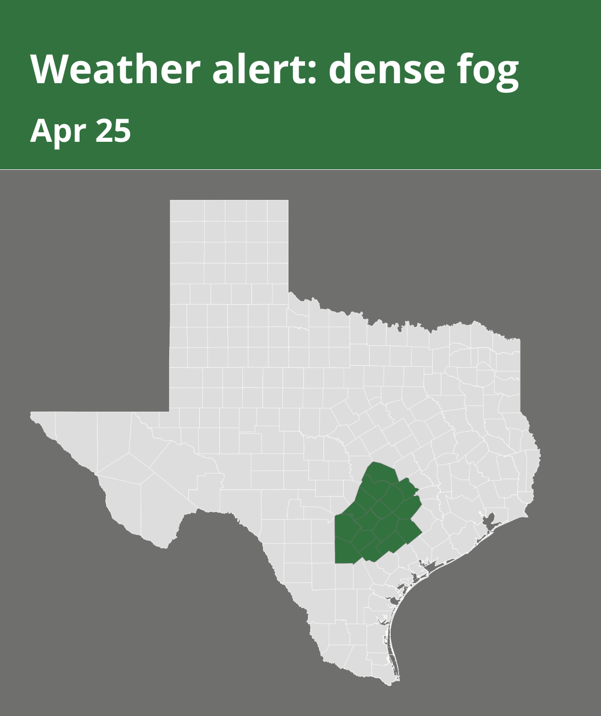
The National Weather Service issued a report at 6:28 a.m. on Friday for dense fog until 10 a.m. The alert is for Williamson, Hays, Travis, Bastrop, Lee, Bexar, Comal, Guadalupe, Caldwell, Fayette, Atascosa, Wilson, Karnes, Gonzales, De Witt and Lavaca counties.
“Patchy fog has formed over the Coastal Plains and I-35 Corridor. Generally visibility will be one to three miles, but some places may drop to near 1/4 mile occasionally. Visibility will improve by mid-morning as temperatures warm,” according to the NWS.
Fog safety: Tips from the NWS for safe travels
If you must drive in foggy conditions, keep the following safety tips in mind:
Reduce speed:
• Slow down and allow extra travel time to reach your destination safely.
Visibility priority:
• Ensure your vehicle is visible to others by using low-beam headlights, which also activate your taillights. If available, employ your fog lights.
Avoid high-beams:
• Refrain from using high-beam headlights, as they create glare that impairs your visibility on the road.
Keep a safe distance:
• Maintain a generous following distance to account for abrupt stops or shifting traffic patterns.
Stay in your lane:
• Use the road’s lane markings as a guide to staying in the correct lane.
Zero visibility protocol:
• In cases of near-zero visibility due to dense fog, activate your hazard lights and seek a safe spot, like a nearby business parking lot, to pull over and stop.
Limited parking options:
• If no designated parking area is available, pull your vehicle as far off the road as possible. Once stationary, deactivate all lights except the hazard flashers, engage the emergency brake, and release the brake pedal to ensure your tail lights remain unlit, minimizing the chance of other drivers colliding with your stationary vehicle.
By adhering to these recommendations from the NWS, you can navigate foggy conditions with greater safety, mitigating the risk of accidents and prioritizing your well-being.
Source: The National Weather Service