Tuesday morning, a 6.2 magnitude quake was recorded near the Philippine Islands, according to the U.S. Geological Survey.
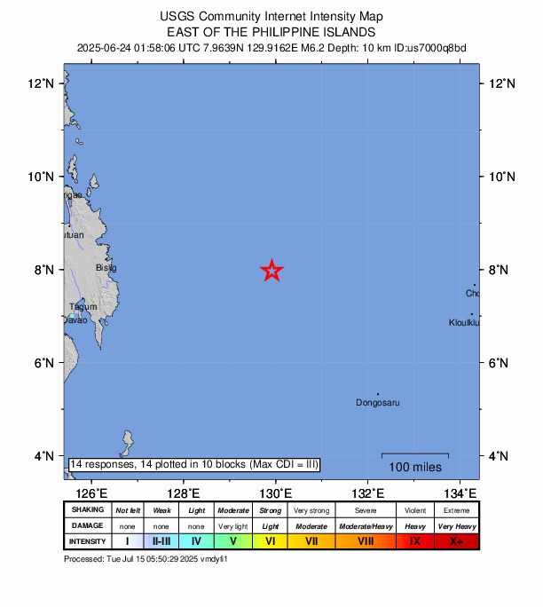
A tremor slammed the area at 01:58 UTC (10:58 local time). The earthquake’s epicenter was located east of the Philippine Islands and occurred at a depth of 10 km.
Did you feel it?
If you felt the quake, you can share your experience using the USGS Felt Report form. 14 people have submitted responses through the agency’s online form, indicating they experienced the tremor. According to the USGS DYFI report, weak shaking was detected and residents in Ngetkip reported feeling the earthquake.
Impact and estimated losses
Green alert for shaking-related fatalities and economic losses. There is a low likelihood of casualties and damage.
Structure information summary
There are likely to be no affected structures in this region.
Historical information
A magnitude 7.5 earthquake 360 km west of this event struck UK on December 15, 1989 (UTC), with estimated population exposures of 527,000 at intensity VII and 1,000 at intensity VIII, resulting in a reported 2 fatalities.
Source: The U.S. Geological Survey