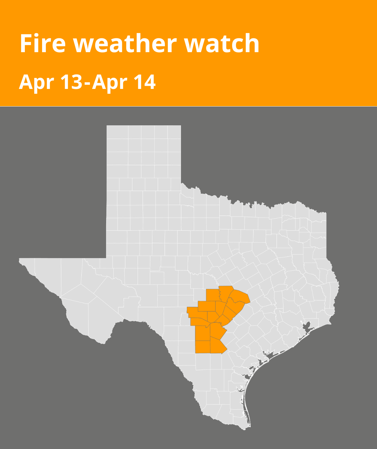
An updated fire weather watch was issued by the National Weather Service on Saturday at 2:24 p.m. valid for Sunday between 1 p.m. and 10 p.m. The watch is for Llano, Burnet, Williamson, Kerr, Bandera, Gillespie, Kendall, Blanco, Hays, Travis, Medina, Bexar, Comal, Frio and Atascosa counties.
Residents can expect winds to be south 15 to 25 mph with gusts up to 35 mph and relative humidity as low as 18 to 25 percent.
“Increasing southerly winds take place today and Sunday across South Central Texas, strongest this afternoon and evening across the Rio Grande, southern Edwards Plateau, and western Hill Country. The stronger winds will expand in coverage Sunday afternoon and evening into the remainder of the Hill Country and I-35 corridor. Low RH values, combined with the breezy southerly flow and dry to extremely dry fuel conditions, will produce a period of critical fire weather conditions through this afternoon and evening across the Rio Grande, southern Edwards Plateau, and western Hill Country and another period during Sunday afternoon and evening from the Rio Grande eastward into the western Hill Country and perhaps as far east as the Hill Country and I-35 corridor,” states the NWS. “Any fires that develop will rapidly increase in size and intensity, move quickly, and be very difficult to control.”
A fire weather watch means that critical fire weather conditions are possible. Listen for later forecasts and possible red flag warnings.
Source: The National Weather Service