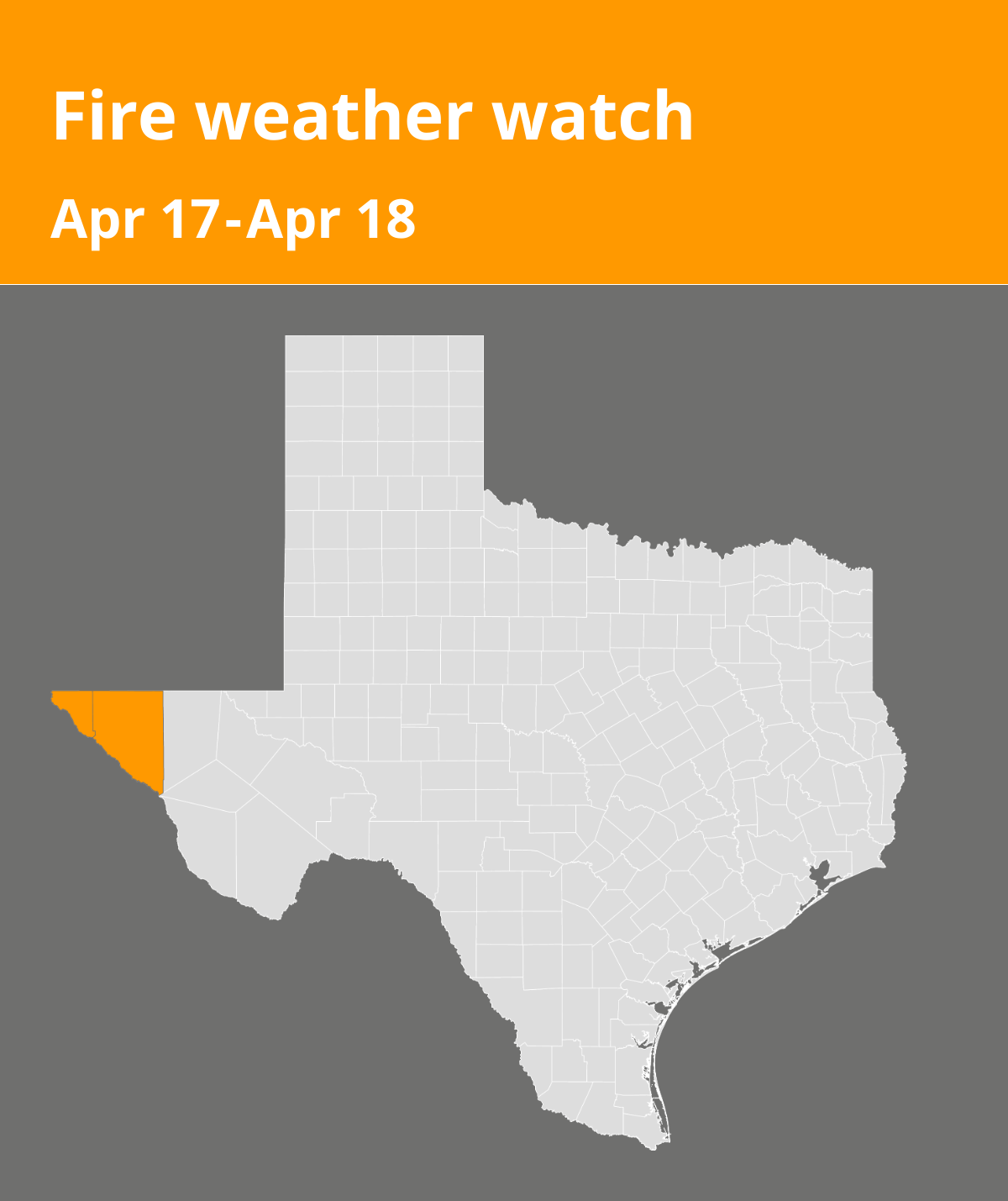
A fire weather watch was issued by the National Weather Service on Tuesday at 6:57 a.m. valid for Thursday between 11 a.m. and 10 p.m. for El Paso and Hudspeth counties.
Residents can expect winds to be southwest winds 20 to 30 mph with gusts up to 55 mph in the lowlands and 65 mph in the mountains and humidity as low as 6 percent.
“An upper level trough is expected to swing through the Four Corners on Thursday aligning the jet stream across much of New Mexico. This will develop a lee cyclone over Eastern Colorado while deep mixing taps into higher winds aloft. Windy to very windy conditions will combine with single-digit lowland minimum RH values with only the highest elevations seeing minimum RH values in the teens. When combined with very dry fuels, critical to possibly extreme fire weather conditions are expected for Thursday afternoon,” states the NWS. “Any fires that develop will likely spread rapidly. Outdoor burning is not recommended.”
According to the NWS, a fire weather watch means that critical fire weather conditions are possible. Listen for later forecasts and possible red flag warnings.
Source: The National Weather Service