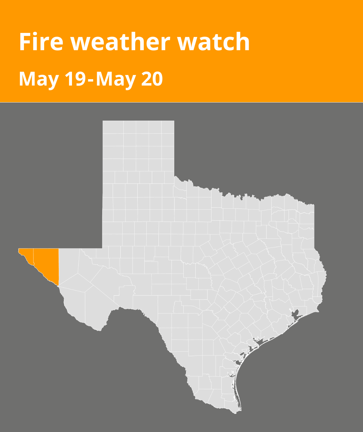
An updated fire weather watch was issued by the National Weather Service on Saturday at 4:11 a.m. valid for Monday between 1 p.m. and 10 p.m. for El Paso and Hudspeth counties.
Winds are expected to be southwest 20 to 30 mph with gusts up to 45 mph and relative humidity 5 to 10 percent.
“Strong southwest flow aloft crossing the Southern Rockies will induce low surface pressure over the southern High Plains Saturday through Monday. Subsequent tightening of the surface pressure gradient will increase winds area wide from the west-southwest beginning this afternoon. Strongest winds are forecast to occur Sunday and Monday afternoons, with peak gusts around 45 mph over the high terrain, gaps, and east slopes. Very dry air remains in place while winds increase, creating critical fire danger for southern New Mexico and far west Texas. Fuel dryness is near normal for mid-May, but weather conditions will be favorable for rapid drying of fine fuels and increasing ERCs back above seasonal normals through the weekend,” states the NWS. “Any fires that develop will likely spread rapidly. Outdoor burning is not recommended.”
According to the NWS, a fire weather watch means that critical fire weather conditions are possible. Listen for later forecasts and possible red flag warnings.
Source: The National Weather Service