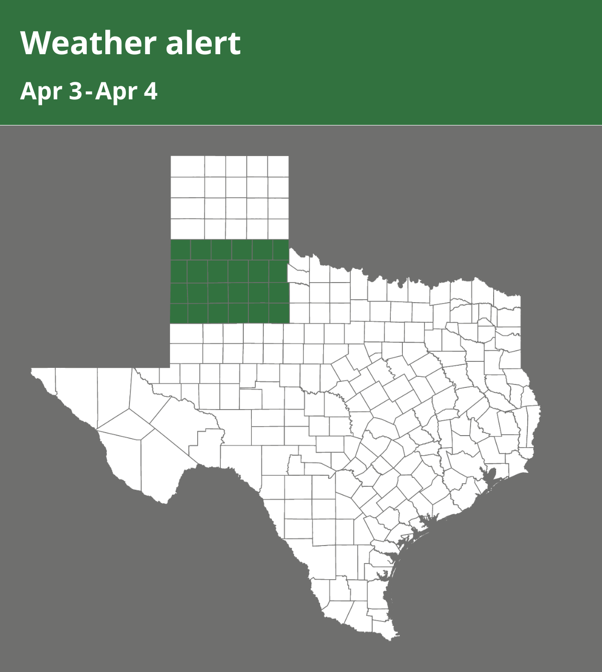
On Thursday at 2:36 p.m. a special weather statement was issued by the National Weather Service until Friday at 5 a.m. The alert is for Parmer, Castro, Swisher, Briscoe, Hall, Childress, Bailey, Lamb, Hale, Floyd, Motley, Cottle, Cochran, Hockley, Lubbock, Crosby, Dickens, King, Yoakum, Terry, Lynn, Garza, Kent and Stonewall counties.
“A cold, blustery, wet, and for some, snowy day is expected Saturday. A strong storm system developing over Arizona and Utah today has already been responsible for some areas receiving rainfall last night and today. This storm system will continue to bring periods of rain tonight through Saturday and into Saturday evening. The rain is likely to change to snow across the far southwestern Texas Panhandle and parts of the South Plains on Saturday as the storm system moves out across Far West Texas and onto the southern High Plains. The heaviest snowfall and greatest accumulations are expected to be mainly to the north and west of a Muleshoe to Tulia line where 2 to 4 inches will be possible. Confidence decreases farther to the south, but some accumulation of snow could occur as far south as the southern South Plains and as far east as areas along and just east of the Caprock escarpment from Crosbyton northward. People with travel plans for Saturday should stay abreast of the latest information and be prepared to adjust those plans as necessary. Total rainfall and liquid equivalent from tonight through Saturday evening of 1 to 1 1/2 inches are forecast for all of the South Plains, Rolling Plains, and far southern Panhandle. Saturday will be the coldest day with temperatures holding nearly steady from morning lows in the 30s and 40s with the potential for falling temperatures during the afternoon. In addition, north winds of 20 to 30 mph will result in wind chill temperatures from the teens and 20s northwest to the 20s and 30s southeast throughout the day,” says the NWS.
Source: The National Weather Service