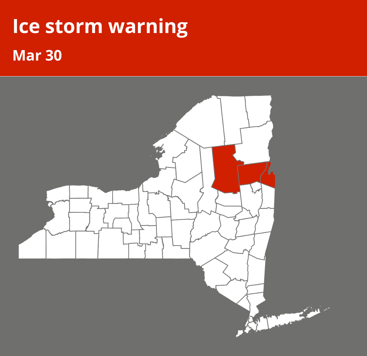
On Sunday at 6:23 a.m. an updated ice storm warning was issued by the National Weather Service in effect until 11 a.m. The warning is for Northern Warren and Northern Washington as well as Hamilton County.
“Freezing Rain. Additional ice accumulations of a light glaze to one tenth of an inch,” can be anticipated according to the NWS. “In southern Vermont, icing is expected for elevations above 1500 feet.”
“Significant ice accumulation on power lines and tree limbs may cause widespread and long-lasting power outages. Very slippery sidewalks, roads and bridges are possible,” adds the NWS. “If you must travel, keep an extra flashlight, food and water in your vehicle in case of an emergency. Prepare for possible power outages. Do not touch downed lines and report any power outages to your electric company. Travel is highly discouraged due to slick roadways and the possibility of downed trees and power lines.”
Source: The National Weather Service