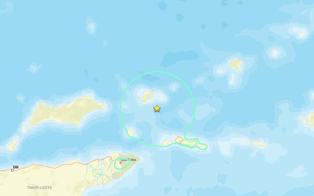
A 6.8 magnitude quake slammed close to Lospalos on Saturday afternoon, according to the U.S. Geological Survey.
A tremor struck the area at 09:42 UTC (18:42 local time). The earthquake’s epicenter was roughly 105 km northeast of Lospalos and occurred at a depth of 132 km.
Did you feel it?
If you noticed the quake, you can share your experience using the USGS Felt Report form. The agency has so far received 36 reports via its online form from people who report they experienced weak to light shaking. According to the USGS DYFI report, residents in cities such as Howard Springs, Coonawarra, Darwin and Dili reported feeling the tremor.
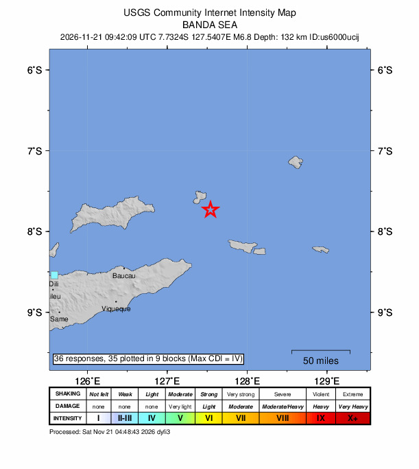
Impact and estimated losses
The USGS categorized this as a Green Alert, which means there is a low likelihood of casualties and damage. Recent earthquakes in this area have caused secondary hazards such as landslides that might have contributed to losses.
Structure information summary
Overall, the population in this region resides in structures that are vulnerable to earthquake shaking, though resistant structures exist. The predominant vulnerable building types are unreinforced brick with concrete floor and precast concrete frame with wall construction.
Nearby region rattled by two quakes over the week
Two earthquakes exceeding magnitude 2.5 have been registered in the region in the past week. Each was centered in the same area with the more significant — a 4.4 magnitude event — occurring on Nov. 21. The second, a 4.2 magnitude quake, rattled on Nov. 17.
Source: The U.S. Geological Survey