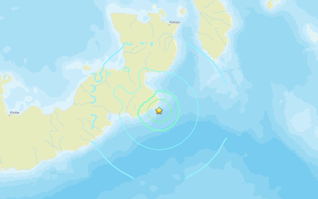
A 6.0 magnitude quake rocked close to Kokopo on Tuesday morning, the U.S. Geological Survey reported.
A tremor struck the area at 18:45 UTC (04:45 local time). The earthquake’s epicenter was about 126 km south of Kokopo and occurred at a depth of 21 km.
Did you feel it?
Those who noticed the quake are encouraged to report it through the USGS Felt Report form.
Impact and estimated losses
The USGS categorized this as a Green Alert, which means there is a low likelihood of casualties and damage. Recent earthquakes in this area have caused secondary hazards such as landslides that might have contributed to losses.
Structure information summary
Overall, the population in this region resides in structures that are a mix of vulnerable and earthquake resistant construction. The predominant vulnerable building types are informal (metal, timber, GI etc.) and unreinforced brick masonry construction.
Tremors past week
Over the last week, there have been three quakes of magnitude 2.5 or above centered nearby. The biggest, a 5.3 magnitude earthquake, was registered in the same region prior to this quake.
Area struck by 6.2 quake in 1983
Strong earthquakes have struck the area before. A magnitude 6.2 tremor struck 86.4 miles south-southwest of Kokopo in Pomio District on Dec. 21, 1983, at a depth of 20.5 miles.
Source: The U.S. Geological Survey