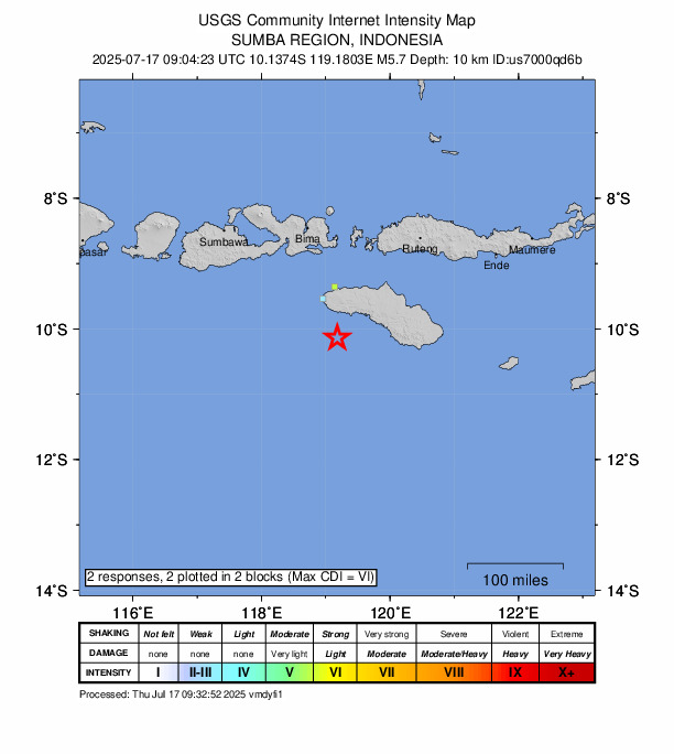
Thursday afternoon, a 5.7 magnitude quake was recorded close to Tambolaka, according to the U.S. Geological Survey.
The tremor hit the area at 09:04 UTC (17:04 local time). It occurred at a depth of 10 km with the epicenter situated approximately 78 km south of Tambolaka.
Did you feel it?
You can let the USGS know if you noticed the earthquake by filling out their Felt Report form.
Impact and estimated losses
Green alert for shaking-related fatalities and economic losses. There is a low likelihood of casualties and damage. Recent earthquakes in this area have caused secondary hazards such as landslides that might have contributed to losses.
Structure information summary
Overall, the population in this region resides in structures that are vulnerable to earthquake shaking, though resistant structures exist. The predominant vulnerable building types are unreinforced brick with concrete floor and precast concrete frame with wall construction.
Historical information
A magnitude 7.7 earthquake 309 km northeast of this event struck UK on December 12, 1992 (UTC), with estimated population exposures of 429,000 at intensity VII and 13,000 at intensity VIII, resulting in a reported 2,519 fatalities.
Source: The U.S. Geological Survey