SARANGANI, SOCCSKSARGEN — According to the U.S. Geological Survey, a 6.0 magnitude quake occurred close to Sarangani Friday morning.
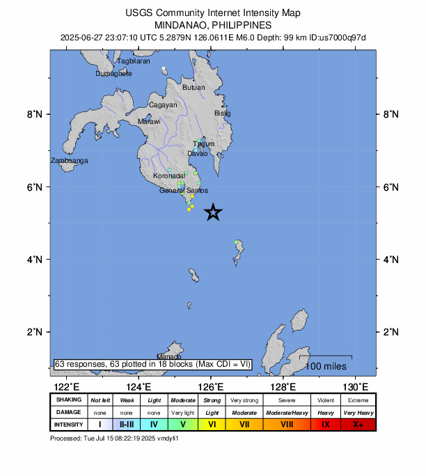
A tremor devastated the area at 23:07 UTC (07:07 local time). The earthquake’s epicenter was situated about 67 km east of Sarangani and occurred at a depth of 100 km.
Did you feel it?
If you noticed the quake, you can share your observations using the USGS Felt Report form. The agency has received 63 responses on its online form so far, from people indicating they felt the tremor. The USGS DYFI report indicates that strong shaking was recorded, with people in Panabo, Davao, Koronadal, Malandag and San Jose (General Santos City, South Cotabato) among those who felt the earthquake.
Impact and estimated losses
Green alert for shaking-related fatalities and economic losses. There is a low likelihood of casualties and damage. Recent earthquakes in this area have caused secondary hazards such as landslides that might have contributed to losses.
Structure information summary
Overall, the population in this region resides in structures that are a mix of vulnerable and earthquake resistant construction. The predominant vulnerable building types are unknown/miscellaneous types and heavy wood frame construction.
Historical information
A magnitude 8.0 earthquake 228 km northwest of this event struck Moro Gulf, Philippines on August 16, 1976 (UTC), with estimated population exposures of 2,908,000 at intensity VI and 1,515,000 at intensity VII, resulting in a reported 7,079 fatalities.
Source: The U.S. Geological Survey